We (Chapel Hill on Bikes) are working on mapping the low stress bike routes around town and we need your help.
What is a low-stress bike route?
These are the bike routes you would bike with a child, maybe with some help using sidewalks or social trails. There are a lot of them, and some are something of folklore! (e.g. “Cut behind the tennis court, and between the fence that is pushed over.”)
That sounds amazing! How can I help?Our first goal is to safelyg get kids biking and walking to school, so we first want to highlight low stress routes to local schools. That’s where you come in.
A step-by-step guide on how to help:

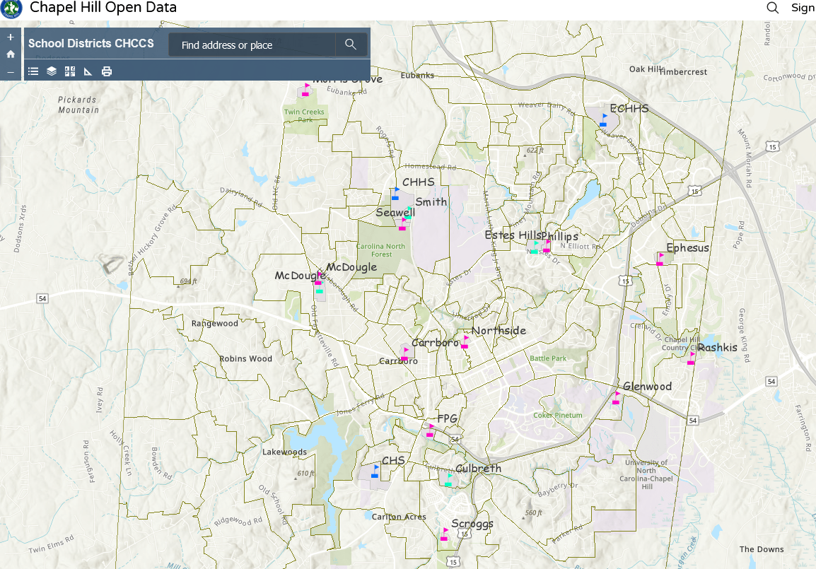
- First, visit the CHCCS Map and identify the school zone you know well.
- Click layers -> Select the Elementary, Middle or High School District and find your zone.
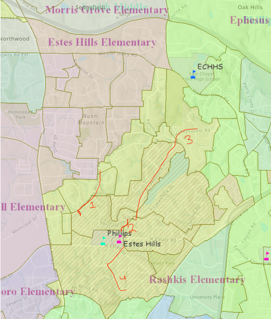
- Take a screenshot and use your favorite program to overlay lines. Some easy ways to do this include:
- Powerpoint
- Canva,
- Photoshop
- Ride with GPS
- Microsoft Paint
- (You can even print it out and use a highlighter and take a picture!)
- Make notes about the route, whatever you would tell your neighbor when describing it. Annotations and notes would be helpful. Low-stress if you use the sidewalk or look for the cut through at the end of Alton Road to Michaux.
- Send it over to us [email protected]
Example:

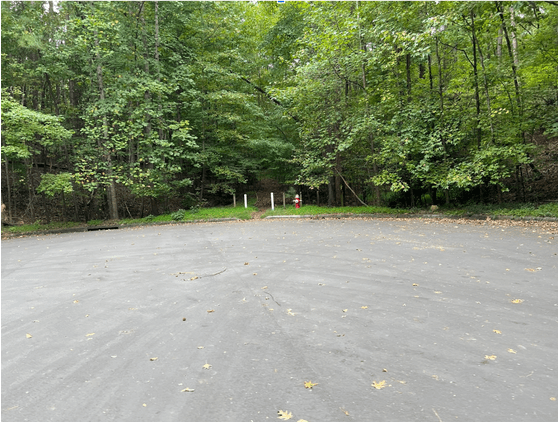
Extra Credit:Photos of any hidden neighborhood easements are helpful so we can find them when mapping with a GPS.

Is there a route that is almost perfect except for a few small things that the town could tackle? Example: There’s no curb cut to access a sidewalk easily, the crosswalk signal doesn’t give enough time to cross, etc.
