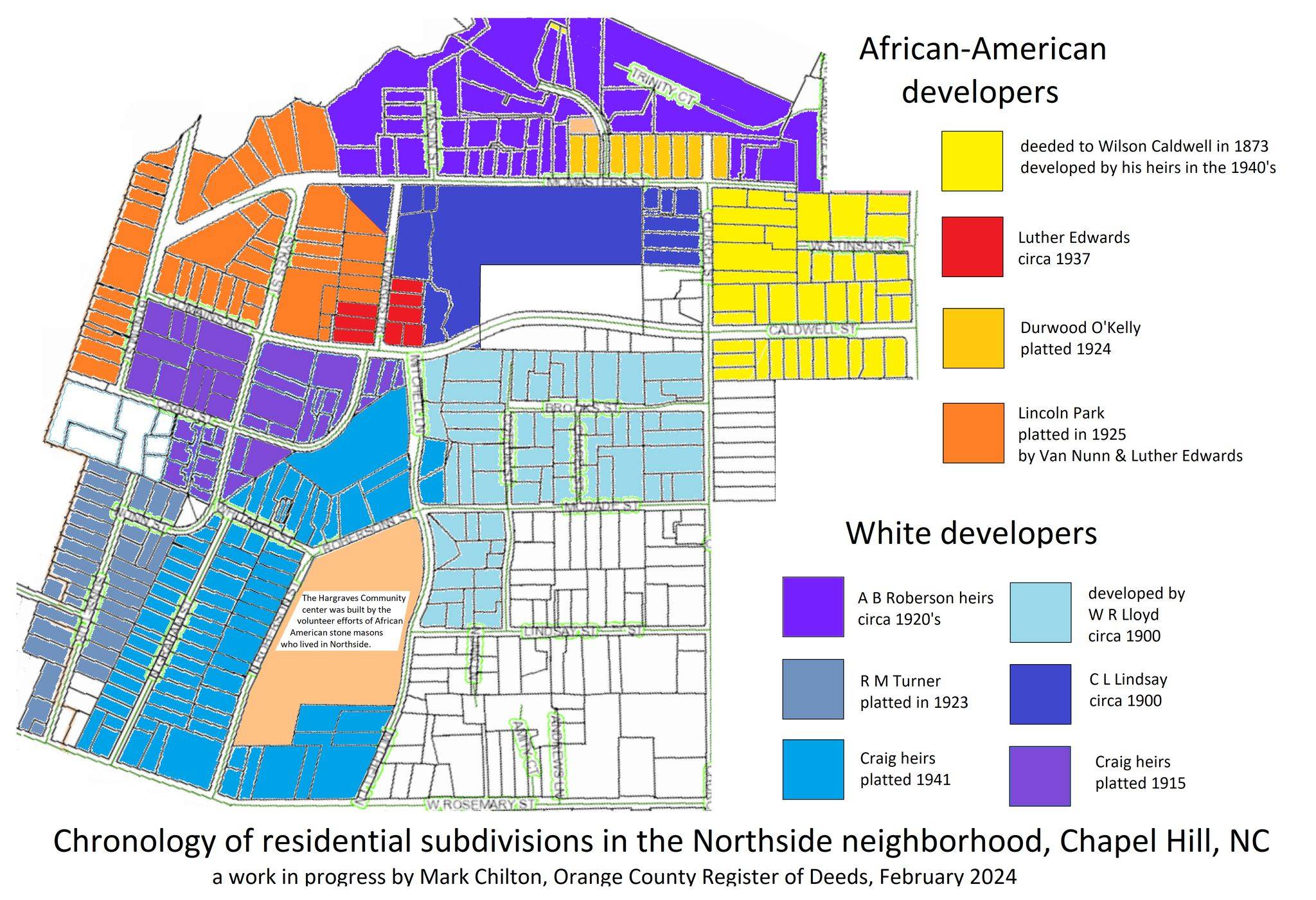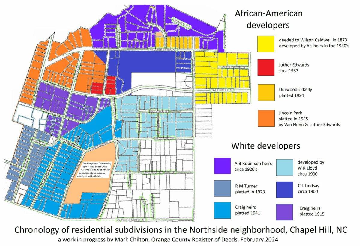
The areas of African-American landownership that date furthest back are around Caldwell Street, on the east side of Church Street. That land was bought in 1879 by a man who grew up enslaved, Wilson Caldwell (a well known historical figure whom you can google for more information). His descendants developed the lots in yellow above – mostly in the 1940’s.
Around 1900, a couple of white real estate developers began platting lots and selling them to local African-Americans – especially in the Lindsay Street-Brooks Street-McDade Street area. Evidently some enterprising African-American businessmen learned from this example.
By the 1920’s, men of color like Luther Edwards, Van Nunn and Durwood O’Kelly were developing their own subdivisions – especially in the northwest area of Northside, around Sykes Street, Edwards Drive and Bynum Street.
In the 1940’s, and especially after the end of World War II, there was a major new phase of development in the area of N Graham Street and Roberson Street. The developers in that area were white, as it happened; the Craig family had owned much of western Chapel Hill (including much of what is now Northside) since well before the Civil War.
Not shown on this map is the historically white part of Northside – Pritchard Avenue, Short Street, Noble Street etc. That area was also developed in the immediate aftermath of World War II. It is interesting to note that although that area was sold exclusively to white people, the subdivision did not have any explicit racial covenants. I would guess that the mechanism for excluding people of color from that area was financial-lender redlining.

